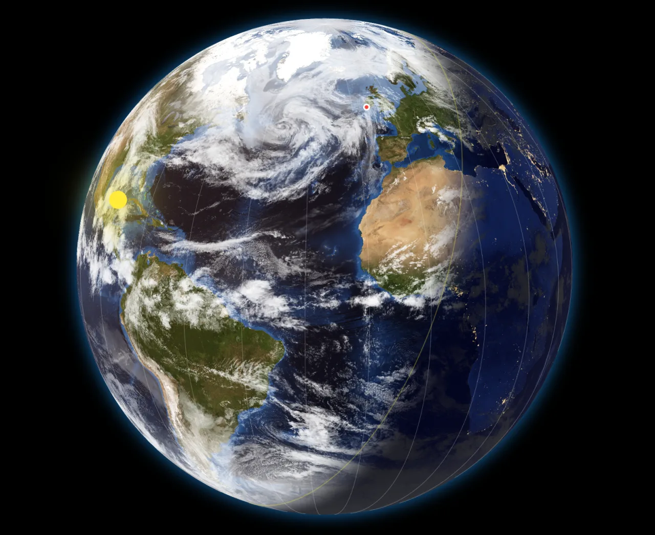
The Sunline, live
The terminator — the boundary between day and night — is calculated continuously from your device's clock. Sub-solar and sub-lunar points (where the Sun and Moon are directly overhead) move alongside it.
Sunline draws the Earth as it is, right now. The day-night sunline is computed from the Sun's position according to the system clock; cloud cover, city lights, time zones and the positions of the Sun and Moon move continuously. Run it in real time, or wind the world forward or backwards at up to a day per second.
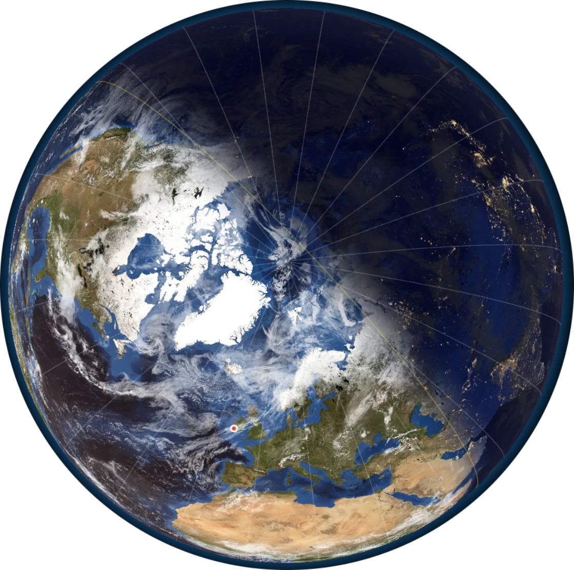
Every layer on the map is calculated or sourced from real data, not animated for show. Turn each one on or off; tune the appearance to taste.
The terminator — the boundary between day and night — is calculated continuously from your device's clock. Sub-solar and sub-lunar points (where the Sun and Moon are directly overhead) move alongside it.
A bundled cloud composite ships with the app. Upgrade to Premium and Sunline downloads recent satellite cloud imagery so the clouds on your map match the ones in the sky.
Stay in real time, or pick any date from 1900 to 2100, set a speed from one minute to one day per real second, and watch the world spin. Premium adds a drag-to-scrub shuttle.
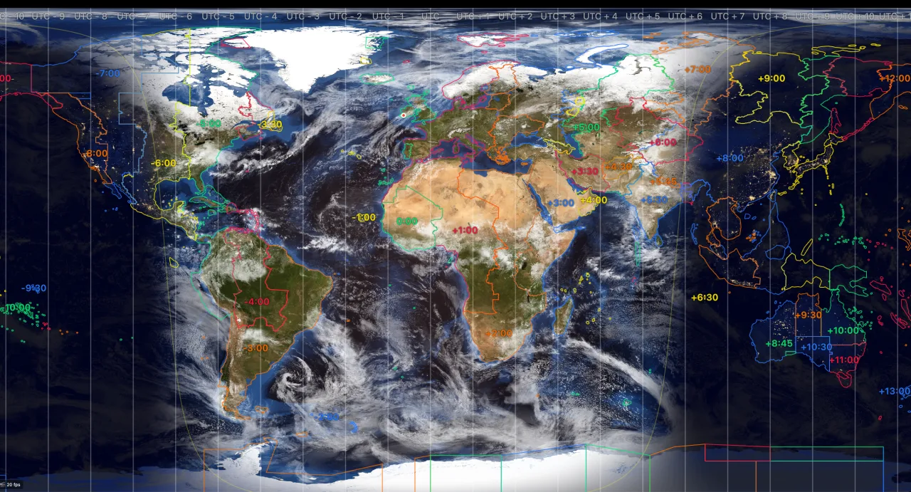
Sunline shows the 24 even bands of geographic longitude — the world's simplest division by the Sun. Switch on the political time zones (Premium) and the real, jagged country-by-country boundaries from the IANA database layer on top.
Toggle either or both, independently, in the Settings.
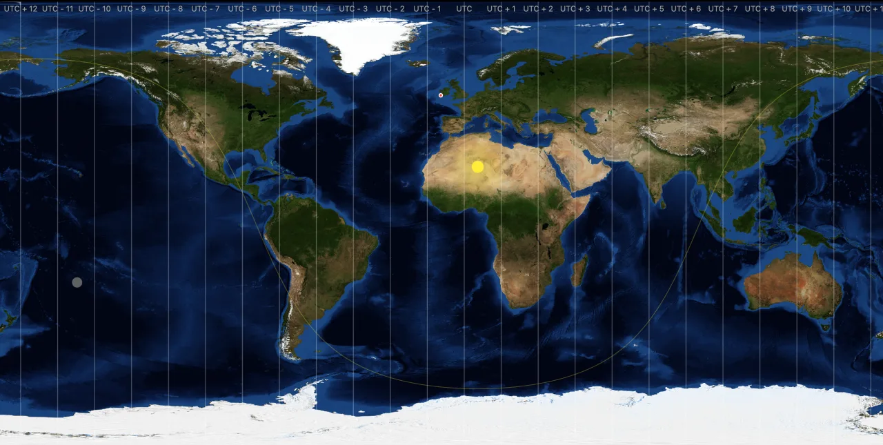
The flat Mercator-style projection shows the whole world at once, with the day-night line as a clean curve. The 3D globe is a real sphere you can rotate. Switch between them with a two-finger tap on touch, or M on the keyboard.
Real cloud imagery, refreshed in the background, baked into a clean black-and-white mask so the Earth still reads cleanly underneath. A tuning panel lets you set how opaque the clouds are on the day side, the night side, and over land — and there's a one-tap reset back to sensible defaults.